
Learn About The Law
Get help with your legal needs
FindLaw’s Learn About the Law features thousands of informational articles to help you understand your options. And if you’re ready to hire an attorney, find one in your area who can help.
Current as of January 02, 2025 | Updated by Findlaw Staff
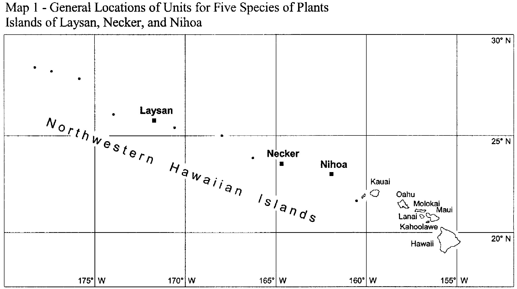
(g) Maps and critical habitat unit descriptions for the Northwestern Hawaiian Islands. The following paragraphs contain the legal descriptions of the critical habitat units designated for the Northwestern Hawaiian Islands. Existing manmade features within boundaries of the mapped areas, such as water features, telecommunications equipment, arboreta and gardens, and heiau (indigenous places of worship or shrines) and other archaeological sites do not contain one or more of the primary constituent elements described for each species in paragraphs (h) of this section and therefore are not included in the critical habitat designations. Coordinates are in WGS84 datum. See Map 1 for the general locations of the seven critical habitat units designated for the islands of Laysan, Nihoa, and Necker.
(1) Index map—Map 1—follows:
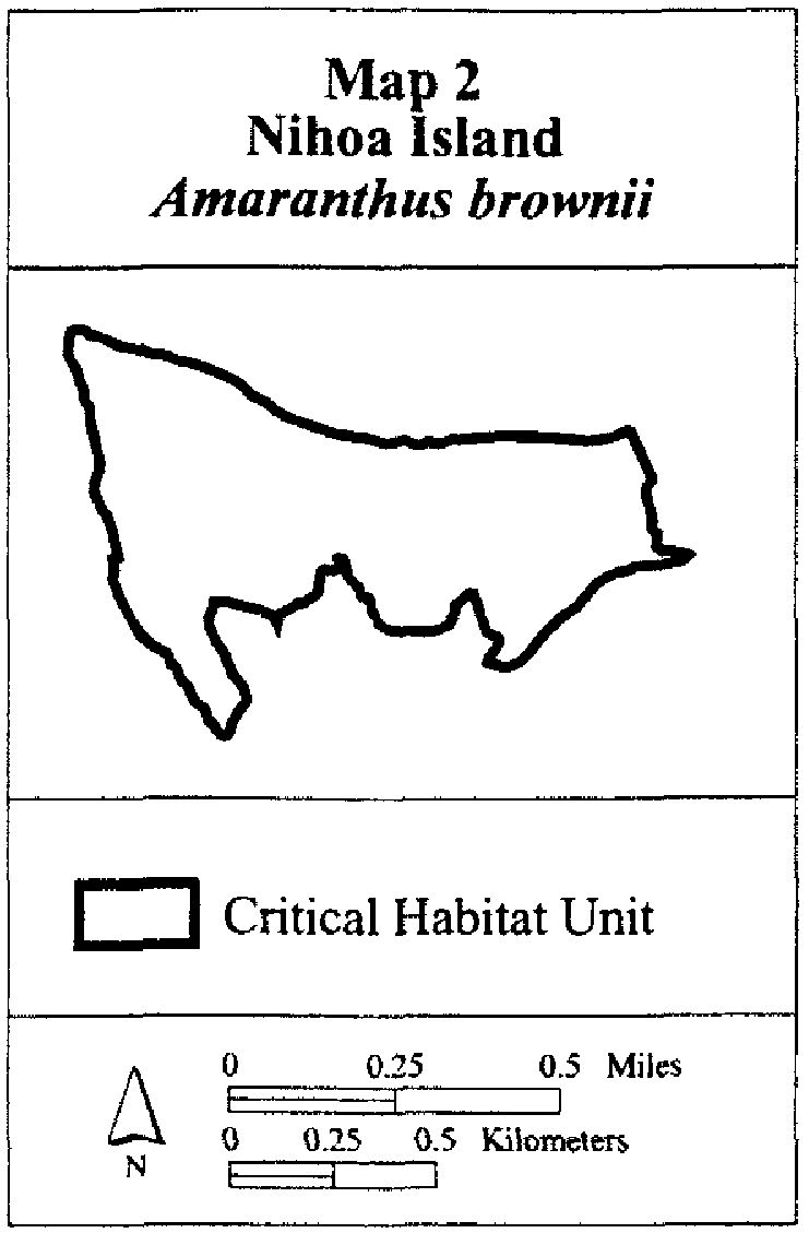
(2) Nihoa 1—Amaranthus brownii—entire island (approximately 69 ha; 171 ac).
(i) Nihoa Island is located between 23°3' N. and 23°4' N. and between 161°54' W. and 161°56' W.
(ii) Note: Map 2 follows:
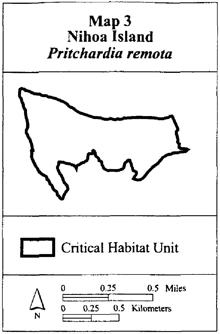
(3) Nihoa 2—Pritchardia remota—entire island (approximately 69 ha; 171 ac).
(i) Nihoa Island is located between 23°3' N. and 23°4' N. and between 161°54' W. and 161°56' W.
(ii) Note: Map 3 follows:
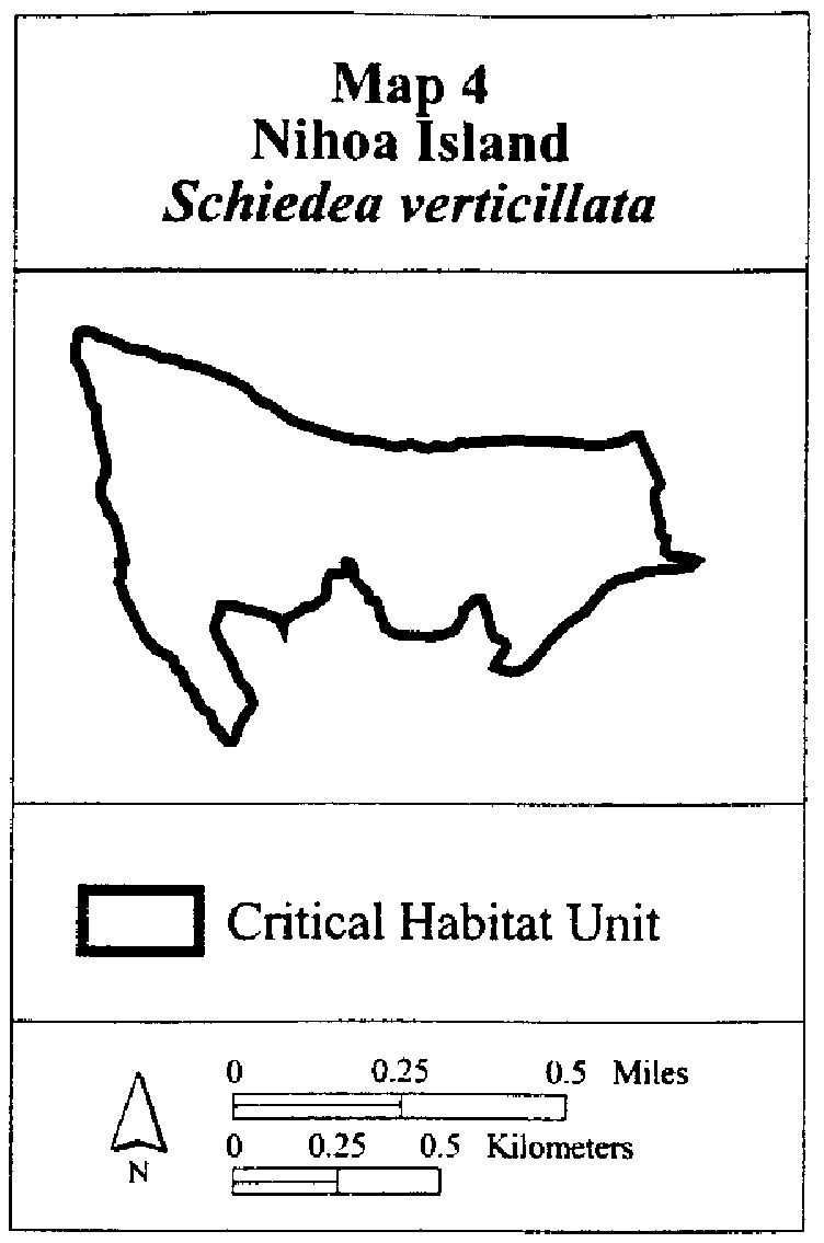
(4) Nihoa 3—Schiedea verticillata—entire island (approximately 69 ha; 171 ac).
(i) Nihoa Island is located between 23°3' N. and 23°4' N. and between 161°54' W. and 161°56' W.
(ii) Note: Map 4 follows:
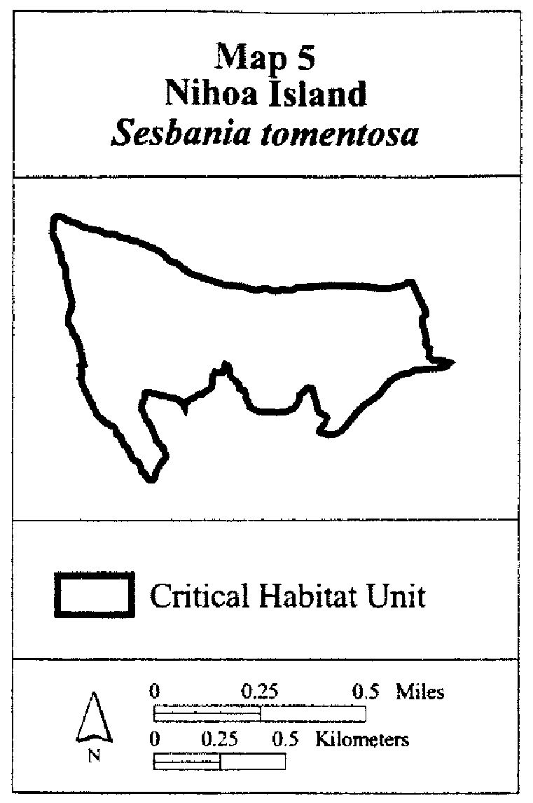
(5) Nihoa 4—Sesbania tomentosa—entire island (approximately 69 ha; 171 ac).
(i) Nihoa Island is located between 23°3' N. and 23°4' N. and between 161°54' W. and 161°56' W.
(ii) Note: Map 5 follows:
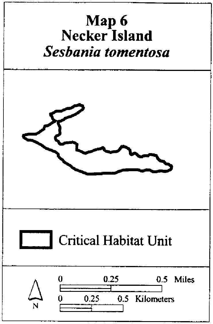
(6) Necker 1—Sesbania tomentosa—entire island (approximately 18 ha; 46 ac).
(i) Necker Island is located between 23°34' N. and 23°35' N. and between 164°41' W. and 164°43' W.
(ii) Note: Map 6 follows:
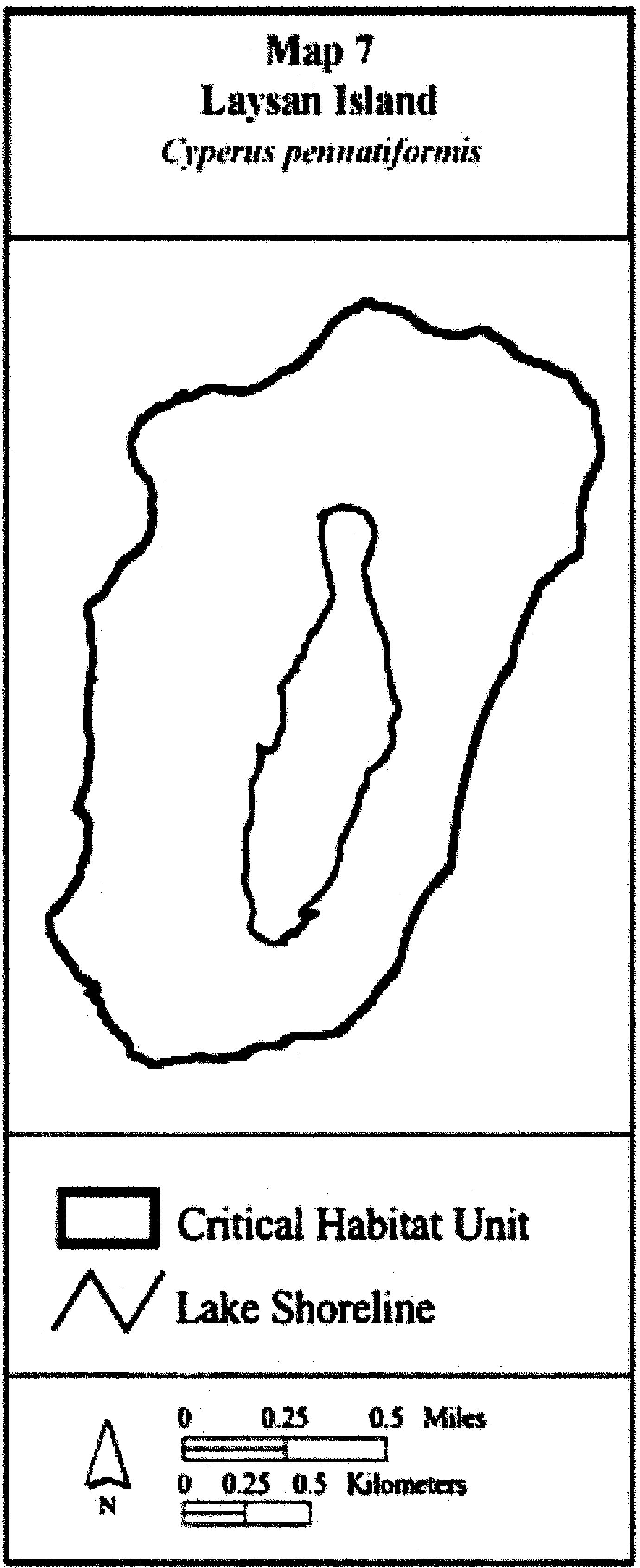
(7) Laysan 1—Cyperus pennatiformis—entire island (approximately 405 ha; 1,219 ac).
(i) Laysan Island is located between 25°45' N. and 25°47' N. and between 171°43' W. and 171°45' W.
(ii) Note: Map 7 follows:
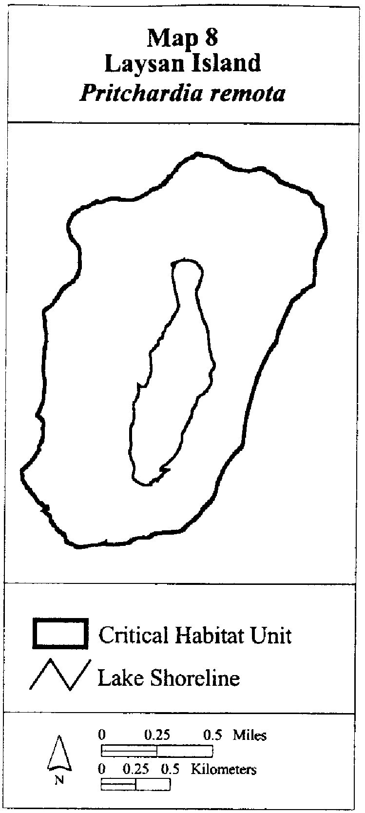
(8) Laysan 2—Pritchardia remota—entire island (approximately 405 ha; 1,219 ac).
(i) Laysan Island is located between 25°45' N. and 25°47' N. and between 171°43' W. and 171°45' W.
(ii) Note: Map 8 follows:
(9) Table of protected species within each critical habitat unit for the Northwestern Hawaiian Islands.
|
Island |
Species—Occupied |
Species—Unoccupied |
|---|---|---|
|
Laysan |
Cyperus pennatiformis |
Pritchardia remota |
|
Necker |
Sesbania tomentosa. |
|
|
Nihoa |
Pritchardia remota, Schiedea verticillata, Sesbania tomentosa |
Amaranthus brownii |
Cite this article: FindLaw.com - Code of Federal Regulations Title 50. Wildlife and Fisheries § 50.17.99 (g) - last updated January 02, 2025 | https://codes.findlaw.com/cfr/title-50-wildlife-and-fisheries/cfr-sect-50-17-99-nr2/
FindLaw Codes may not reflect the most recent version of the law in your jurisdiction. Please verify the status of the code you are researching with the state legislature before relying on it for your legal needs.
Get help with your legal needs
FindLaw’s Learn About the Law features thousands of informational articles to help you understand your options. And if you’re ready to hire an attorney, find one in your area who can help.
